SCOTTISH BORDERS 2014
|
|
BASECAMP (Home) |
|
|
![]() A Damp Start from
the Bruce's Stone Car Park
A Damp Start from
the Bruce's Stone Car Park
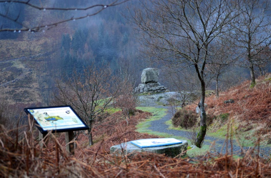
![]() The Information
Boards & Bruce's Stone
The Information
Boards & Bruce's Stone
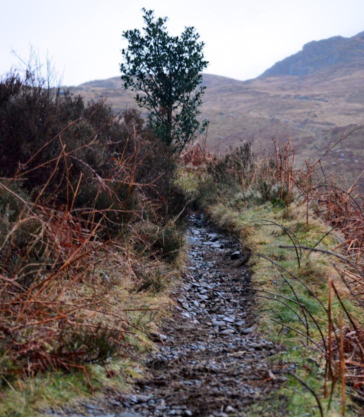
![]() The Wet but Good
Path
The Wet but Good
Path
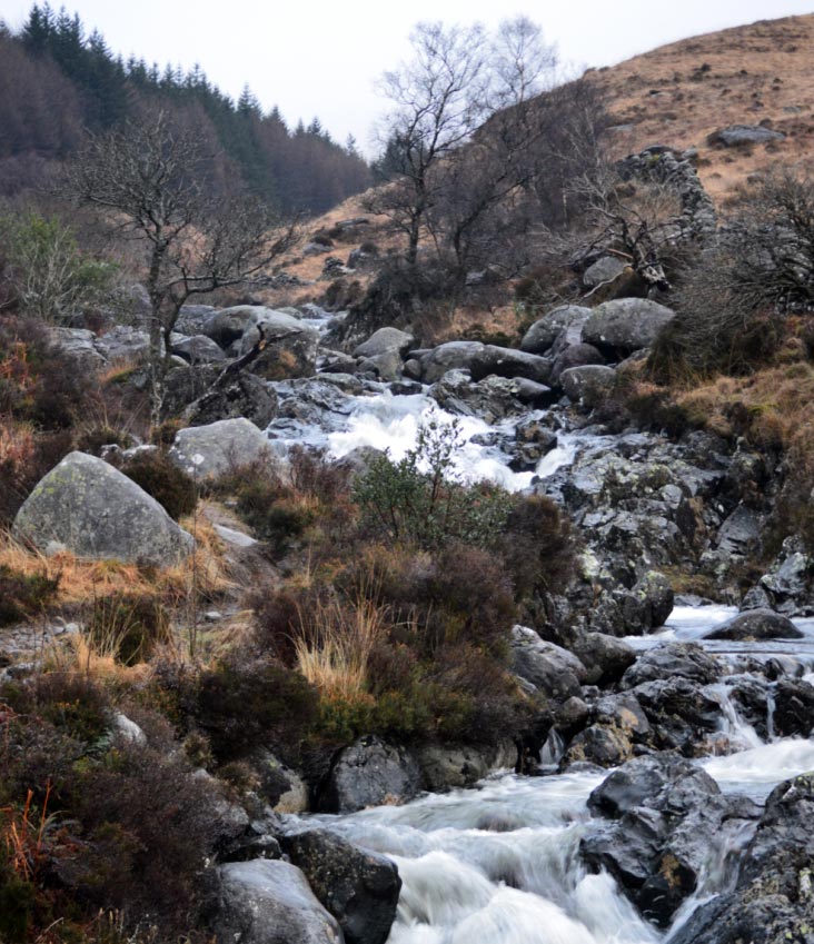
![]() Buchan Burn
Buchan Burn
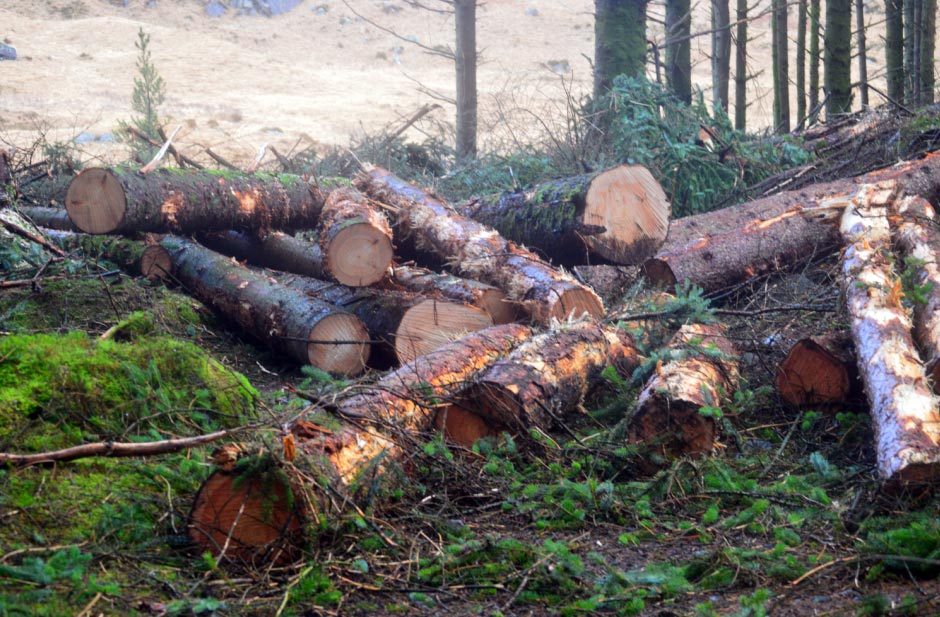
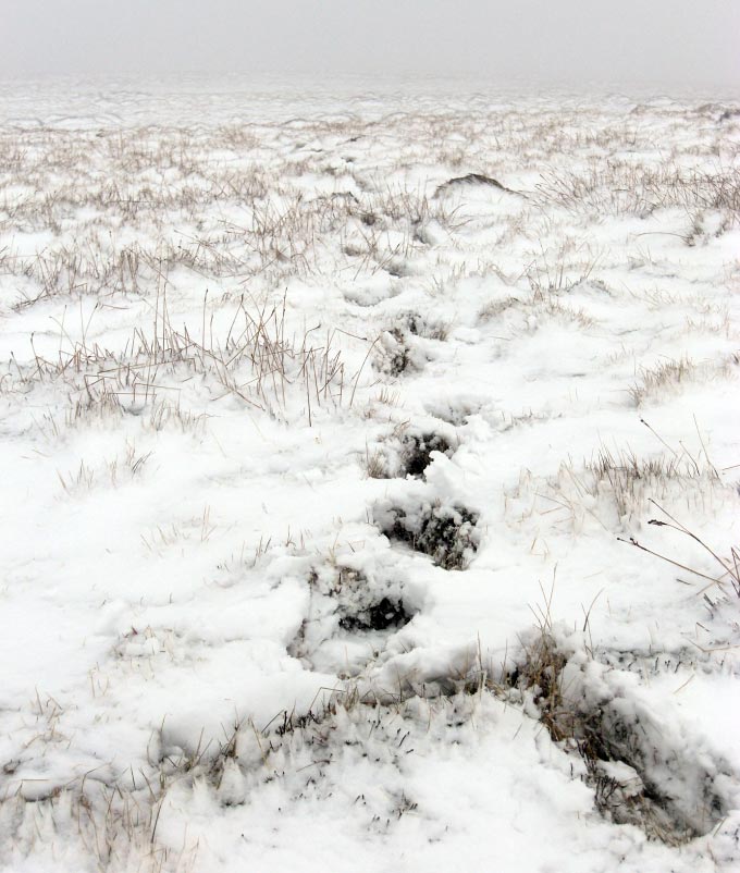
![]() Logging Right on
the Path (I wonder where they Came From?)
Logging Right on
the Path (I wonder where they Came From?)
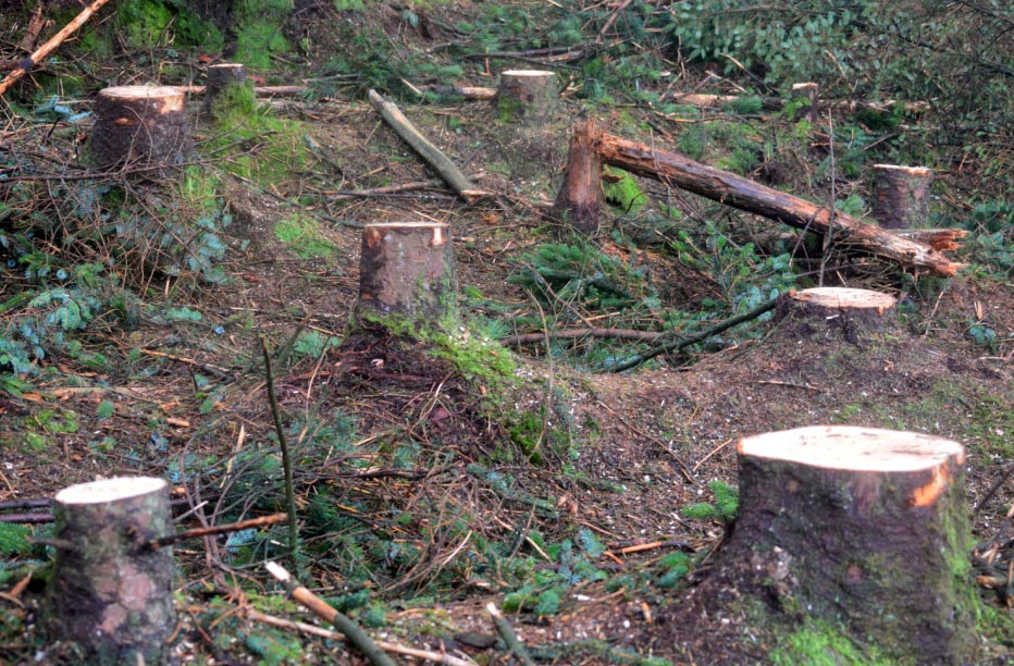
![]() Mystery Solved
Mystery Solved
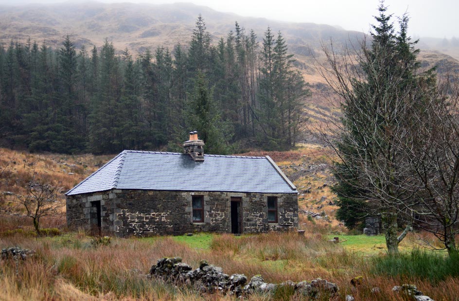
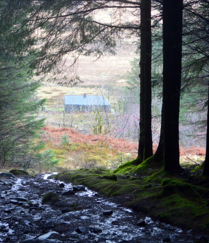
![]() Cuisharg Bothy
Cuisharg Bothy
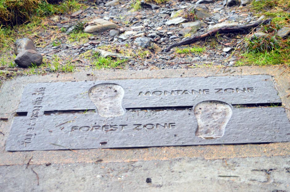
![]() You are Now
Crossing the Line
You are Now
Crossing the Line
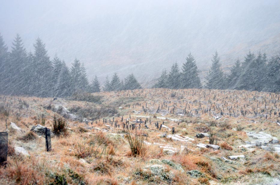
![]() The Start of the
Blizzard
The Start of the
Blizzard
![]() Getting Worse
Getting Worse
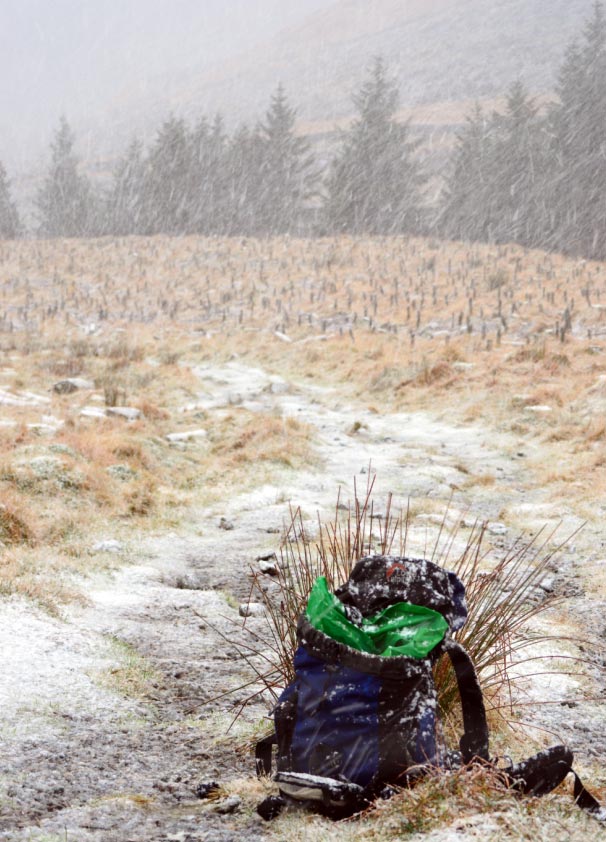
![]() Starting to Stick
Starting to Stick
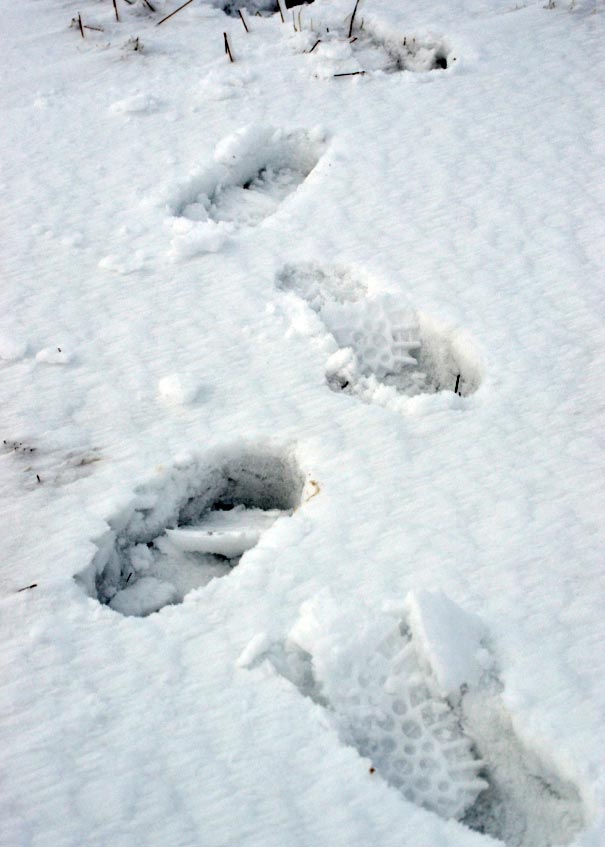
![]() Getting Deeper the
Higher I Climb
Getting Deeper the
Higher I Climb
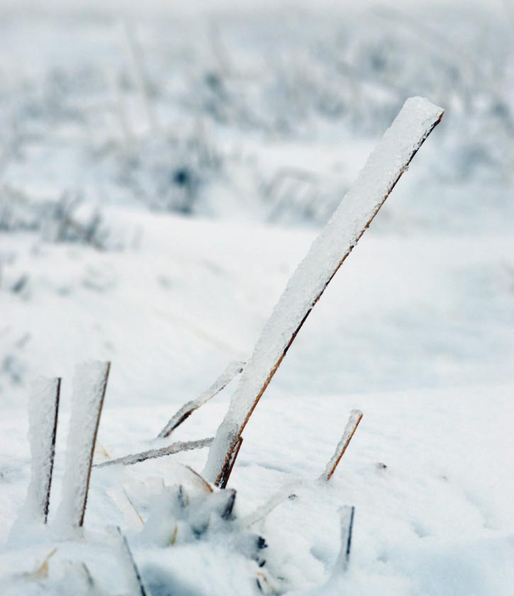
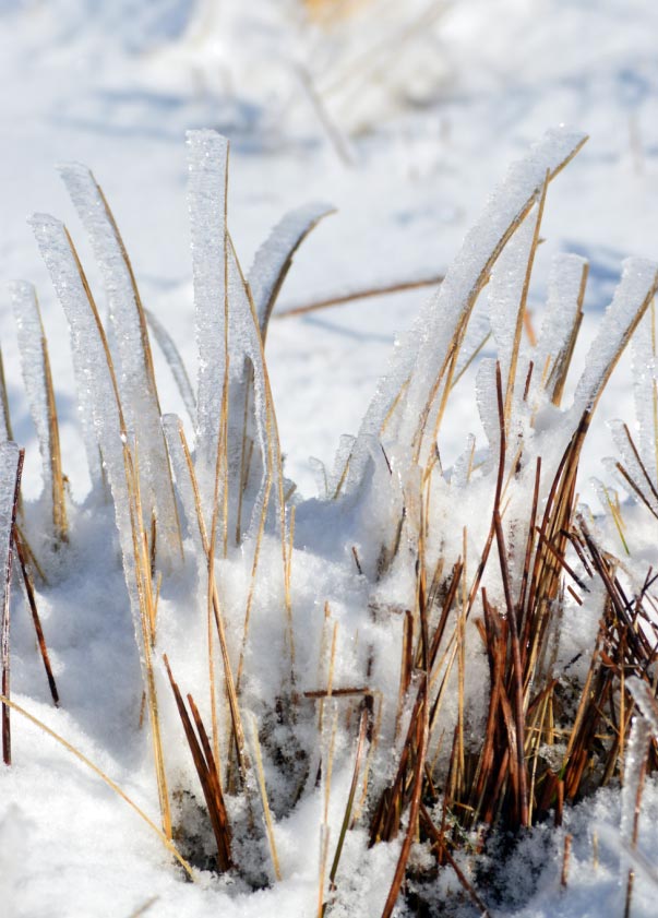
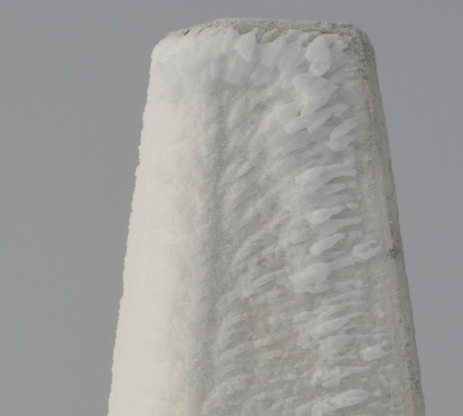
![]() Ice Formed on a
Blades of Grass
Ice Formed on a
Blades of Grass
![]() Weather Now Much
Better but the Snow Even Deeper
Weather Now Much
Better but the Snow Even Deeper
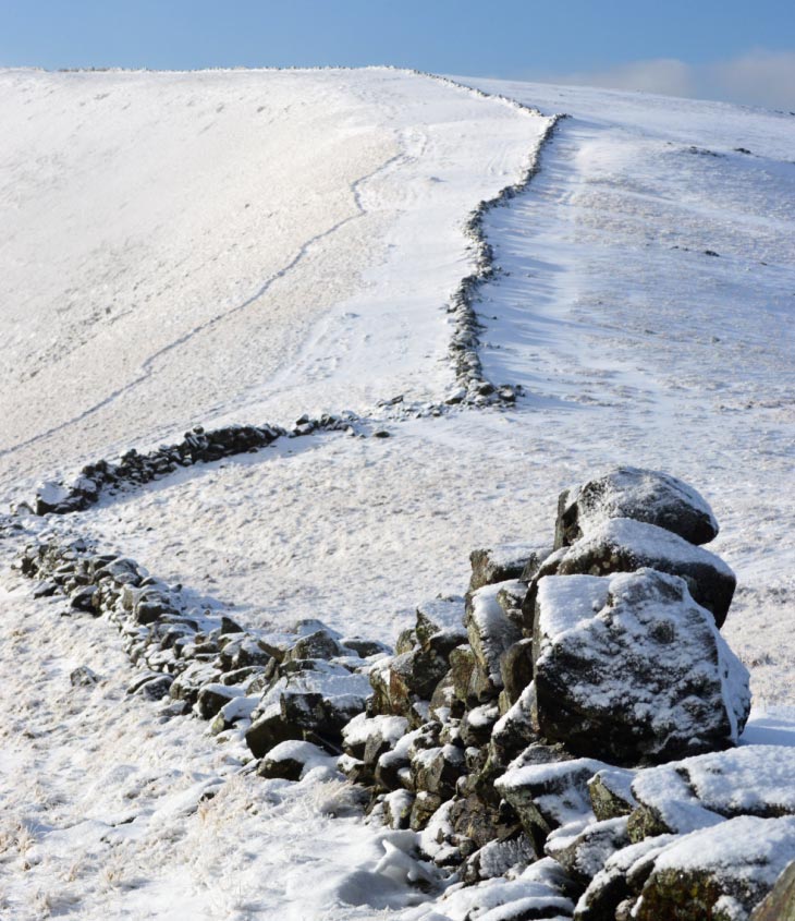
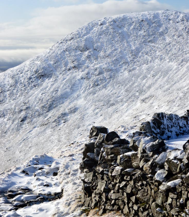
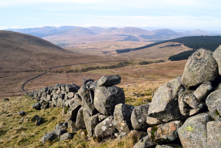
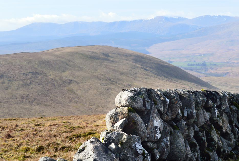
![]() Dry Stone Wall on
the Ridge Between Benyellary and
Merrick
Dry Stone Wall on
the Ridge Between Benyellary and
Merrick
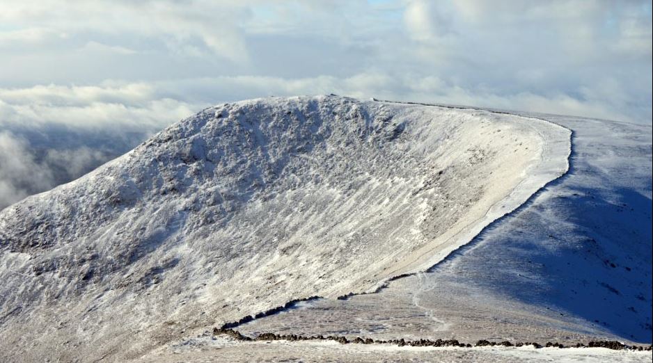
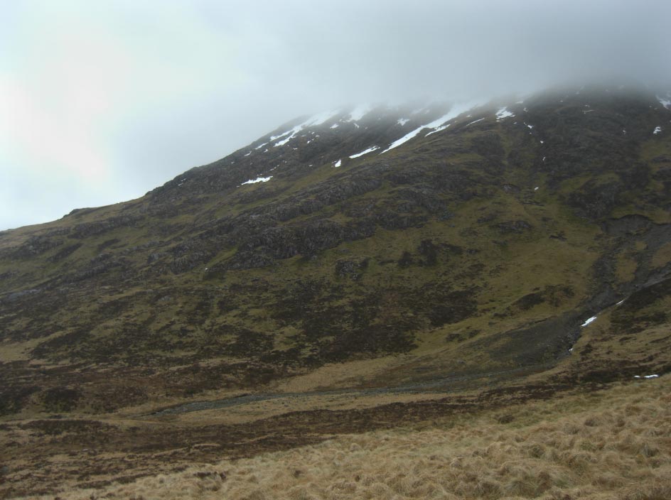
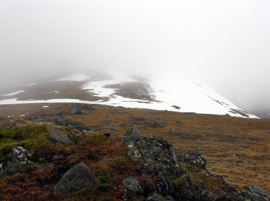
![]() The North Eastern
Face of Benyellary
The North Eastern
Face of Benyellary
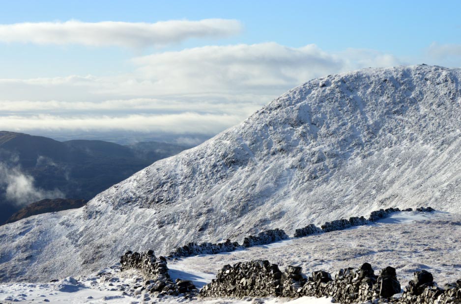
![]() Benyellary
Benyellary
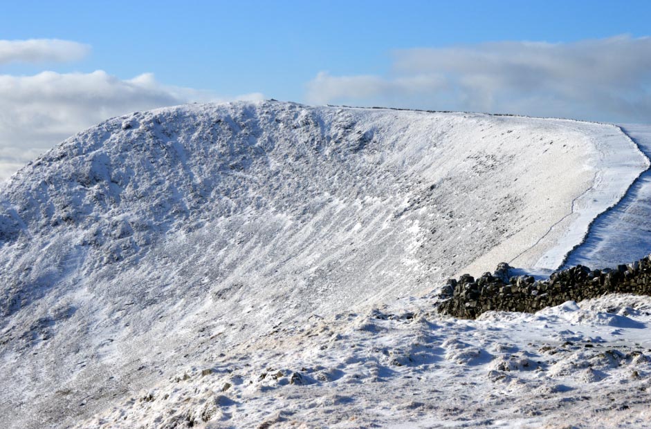
![]() The North Eastern
Face of Benyellary
The North Eastern
Face of Benyellary
![]() More Ice on
Blades of Grass
More Ice on
Blades of Grass
![]() The Dry Stone Wall
on the Ridge Between Benyellary and
Merrick
The Dry Stone Wall
on the Ridge Between Benyellary and
Merrick
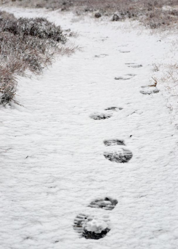
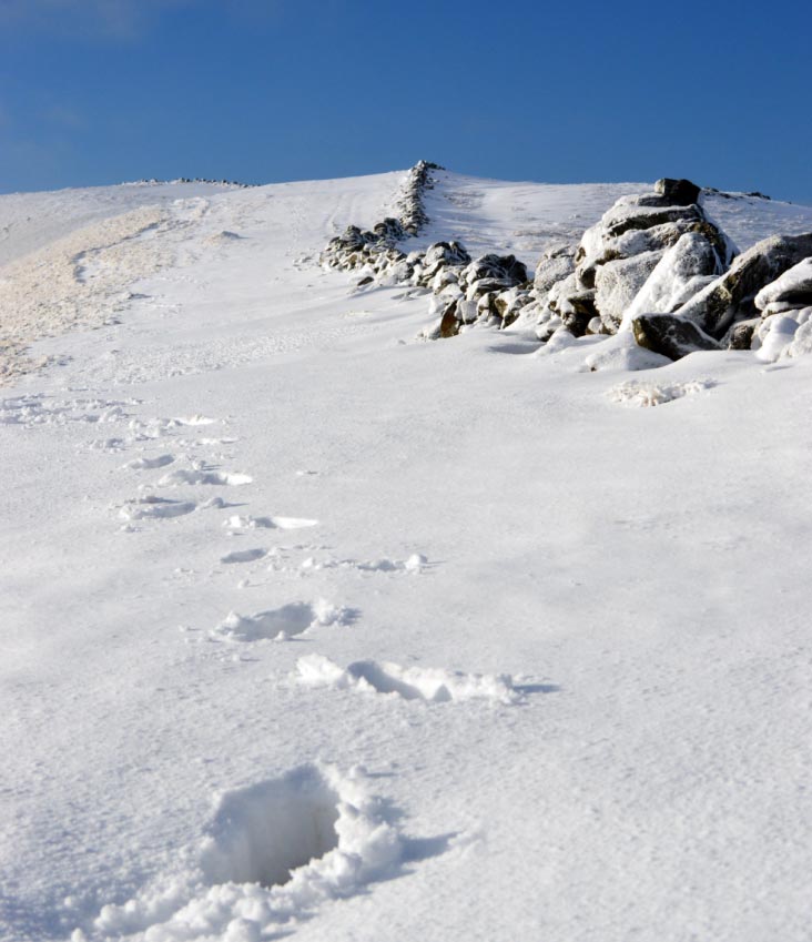
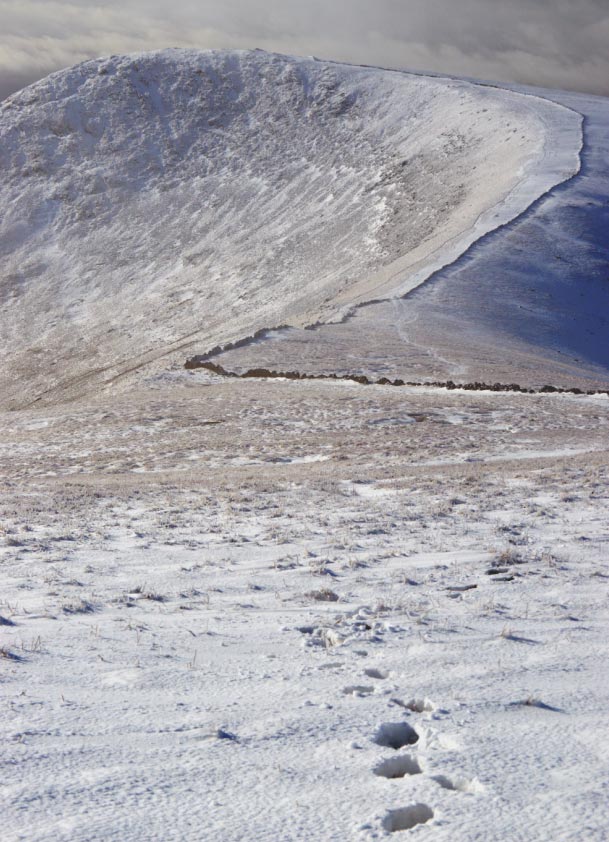
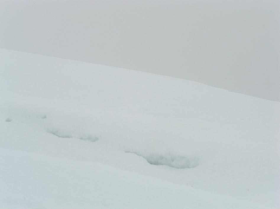
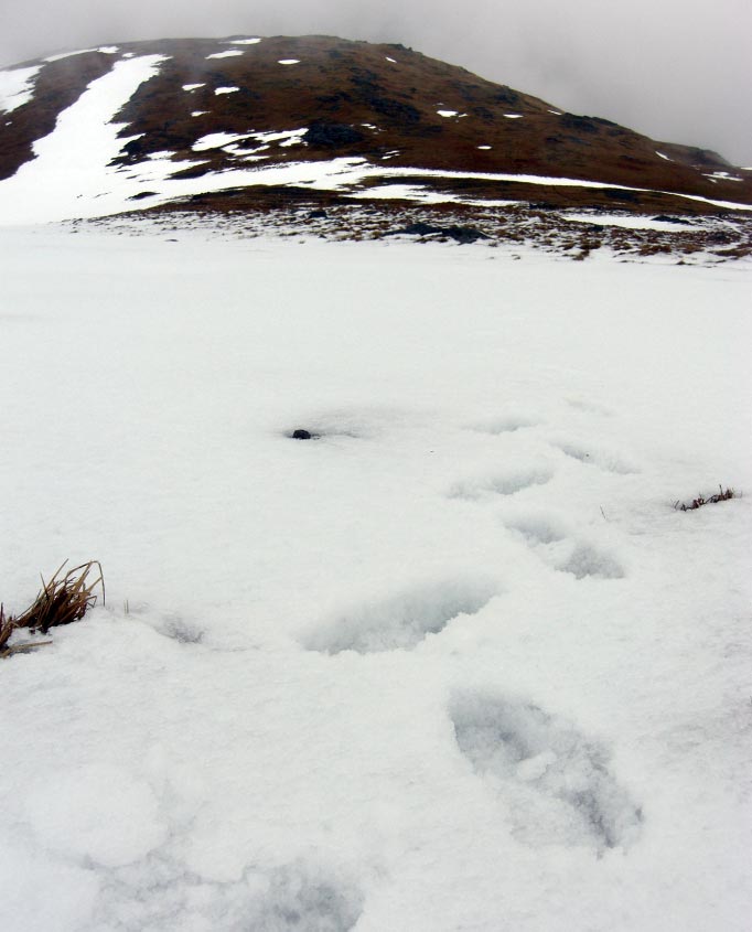
![]() The Last View of
Benyellary and my Footprints Before the Whiteout
The Last View of
Benyellary and my Footprints Before the Whiteout
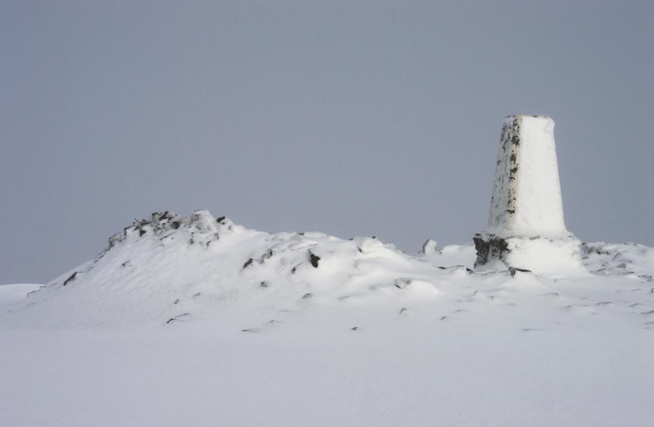
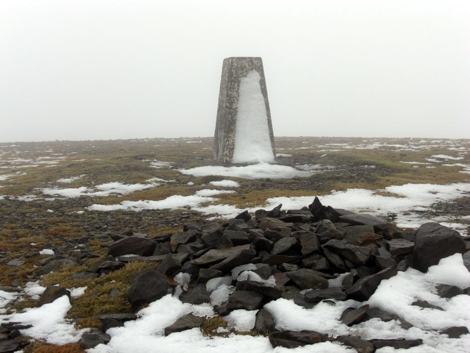
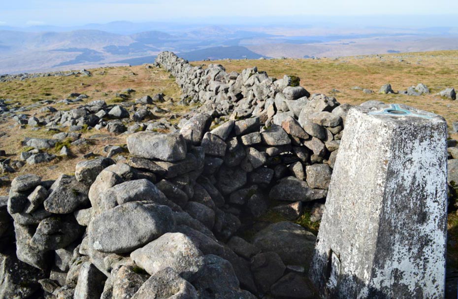
![]() The Frozen Summit
Trig Point of
Merrick
The Frozen Summit
Trig Point of
Merrick
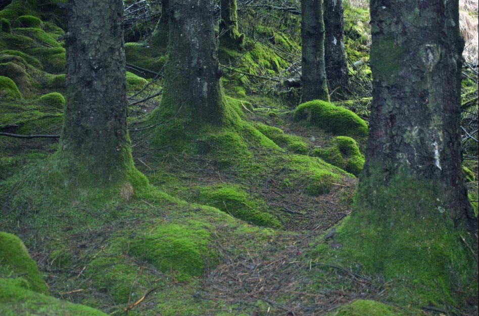
![]() Back Down in the
Woods Below the Snow Line
Back Down in the
Woods Below the Snow Line
![]() Cuisharg Bothy
Through the Trees
Cuisharg Bothy
Through the Trees
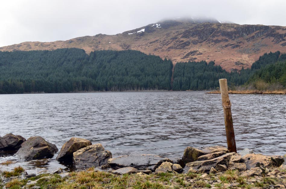
![]() Bruce's Stone Now
in Sunshine
Bruce's Stone Now
in Sunshine
![]() Friday
21st Feb 2014 (Travelling Back Same Day)
Friday
21st Feb 2014 (Travelling Back Same Day)
![]() The Start of The
Walk a Short Cut Just South of the Main Car Park
The Start of The
Walk a Short Cut Just South of the Main Car Park
![]() The Short Cut Route
not Recommended
The Short Cut Route
not Recommended

|
|
|
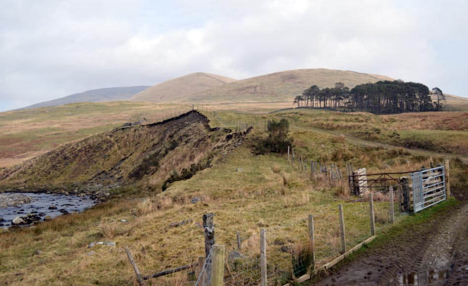
One Crossing a Fast Flowing Burn the Other in a Hidden Drainage Trench. |
|
I Finally Make to the Tourist Route Path. (Short Cut Route not Recommended) |
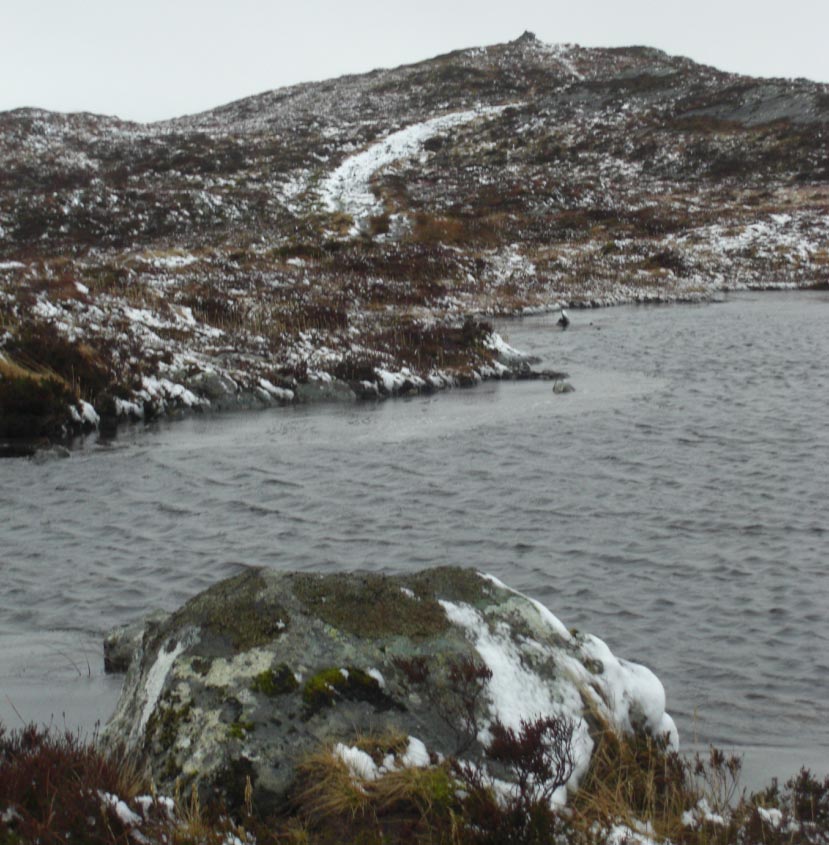
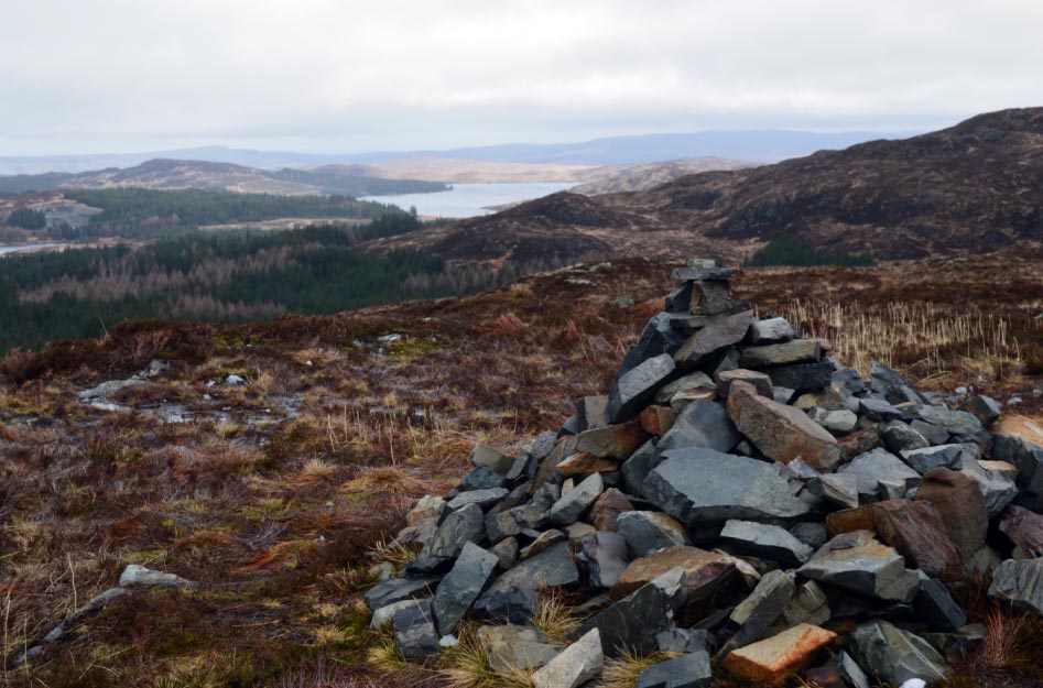
![]() A Small Lochan near
the Top of Cornish Hill
A Small Lochan near
the Top of Cornish Hill
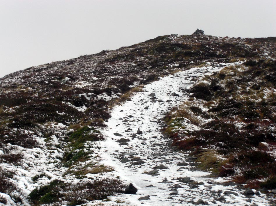
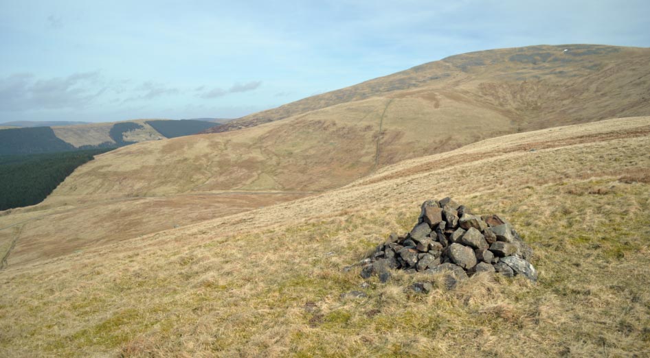
![]() The Footpath
Leading to One of the Many Stone Cairns on Cornish Hill
The Footpath
Leading to One of the Many Stone Cairns on Cornish Hill
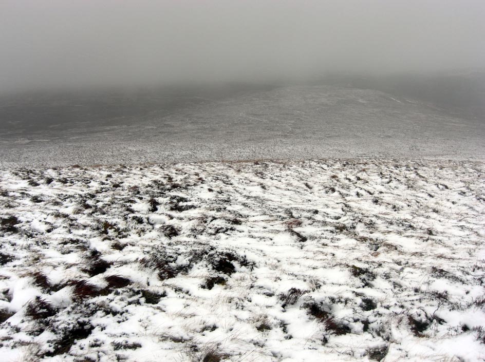
![]() The Very Difficult
Walking Conditions Make the Assent a Long Slog Uphill
The Very Difficult
Walking Conditions Make the Assent a Long Slog Uphill
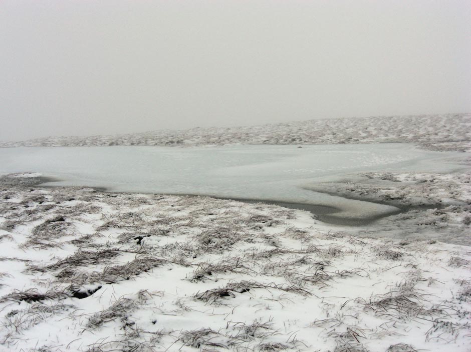
![]() A Little Frozen
Lochan Just North of the Final Climb
A Little Frozen
Lochan Just North of the Final Climb
|
|
|
but the True Summit is a Very Small Pile of Snow & Ice Covered Stones About 300m SE & 7m Higher |
![]() Following my
Footprints Back Down Again
Following my
Footprints Back Down Again
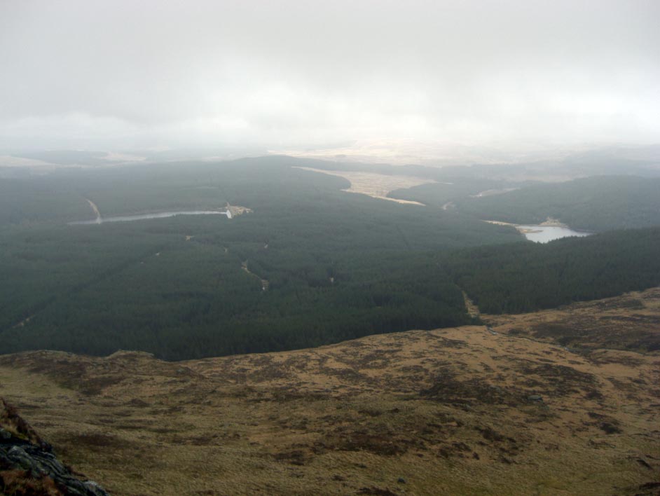
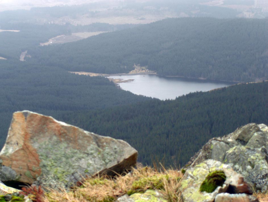
![]() Loch Cornish with
Shiel Hill in the Background
Loch Cornish with
Shiel Hill in the Background
![]() Loch Cornish and Shiel Hill from Cornish Hill
Loch Cornish and Shiel Hill from Cornish Hill
![]() Loch Brandan From
Cornish Hill
Loch Brandan From
Cornish Hill
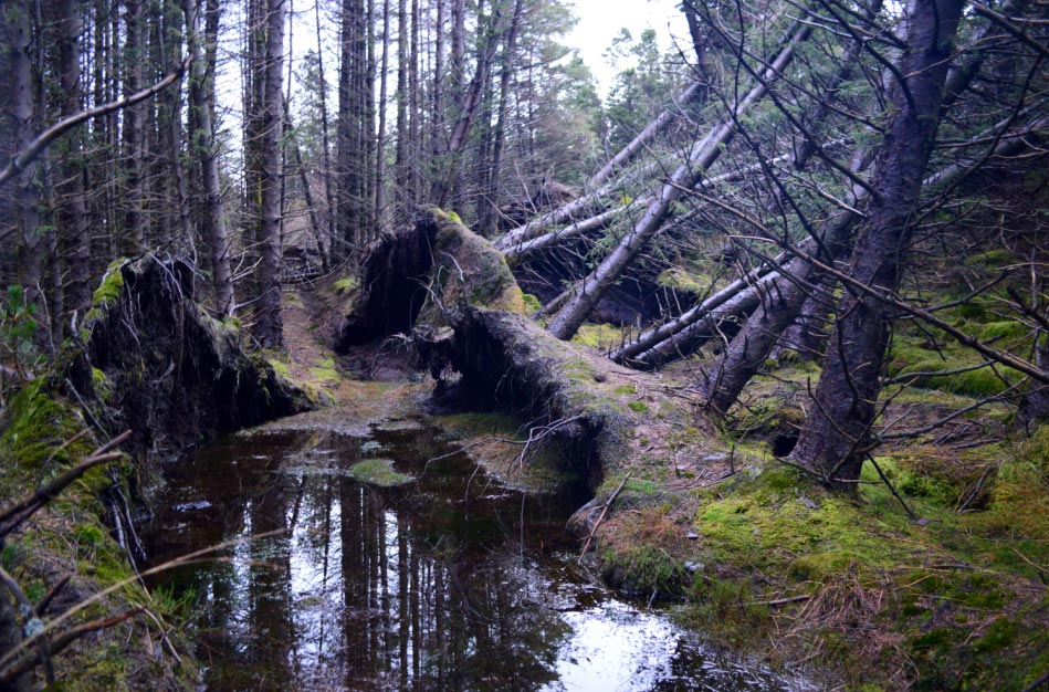
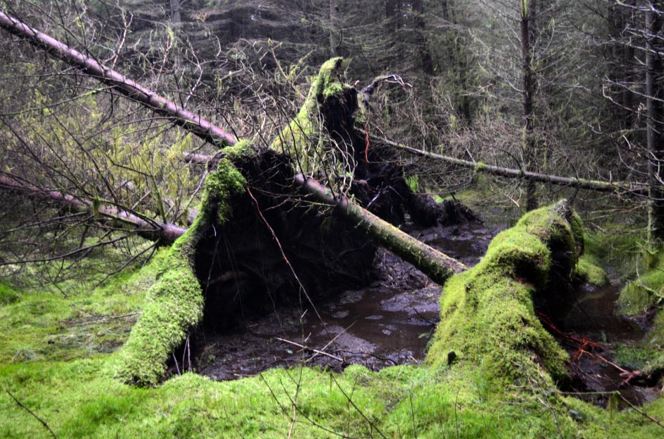
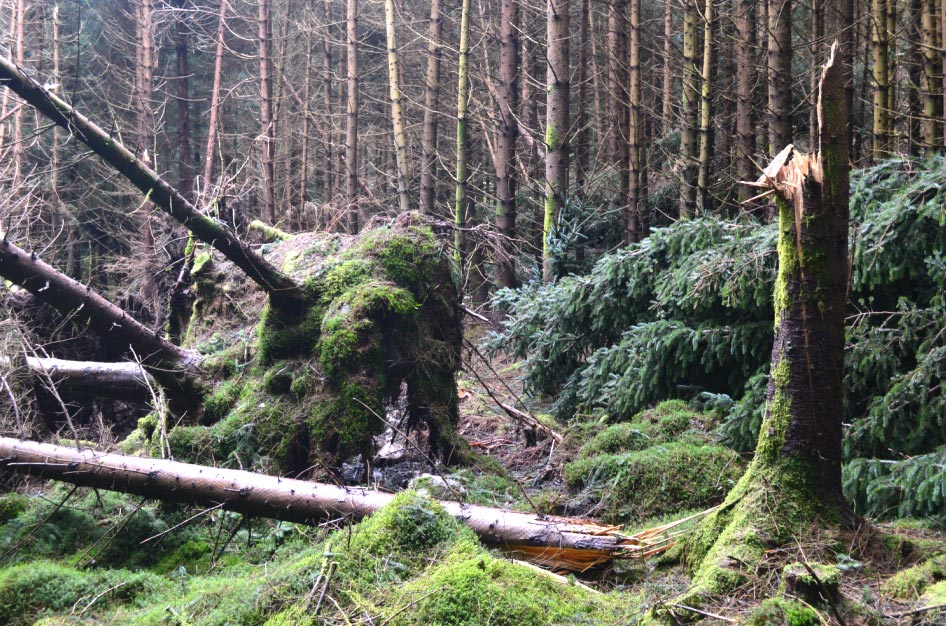
![]() Fallen Trees Litter
the Floor of the Woods
Fallen Trees Litter
the Floor of the Woods
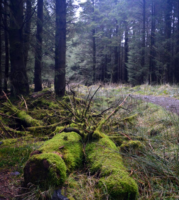
![]() Moss Covered Logs
at the Side of the Path
Moss Covered Logs
at the Side of the Path
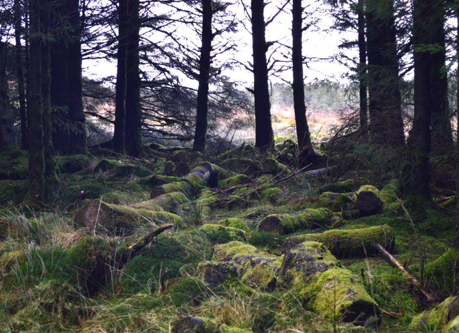
![]() More Moss Covered
Logs Long Since Chopped up and Forgotten About
More Moss Covered
Logs Long Since Chopped up and Forgotten About
![]() More Fallen Trees
More Fallen Trees
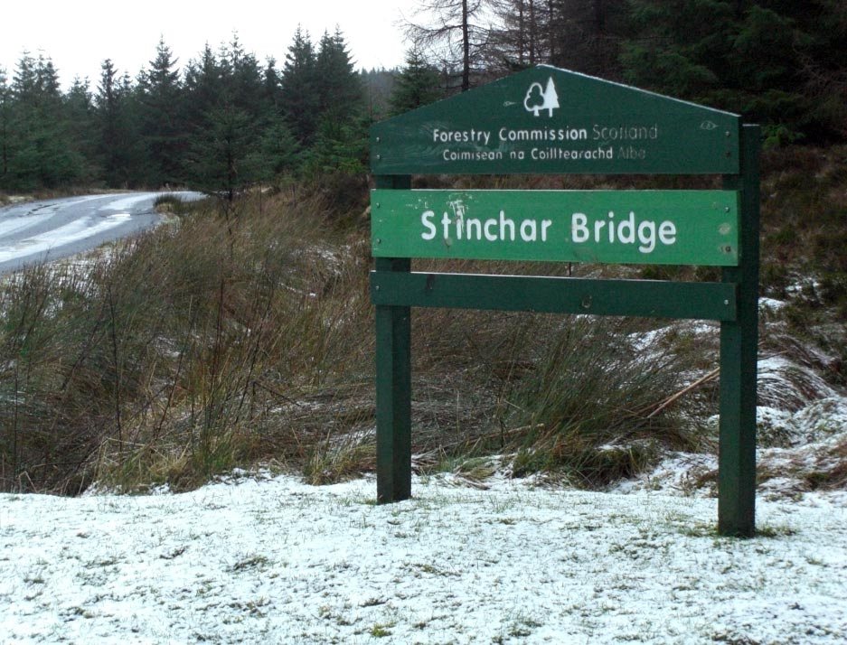
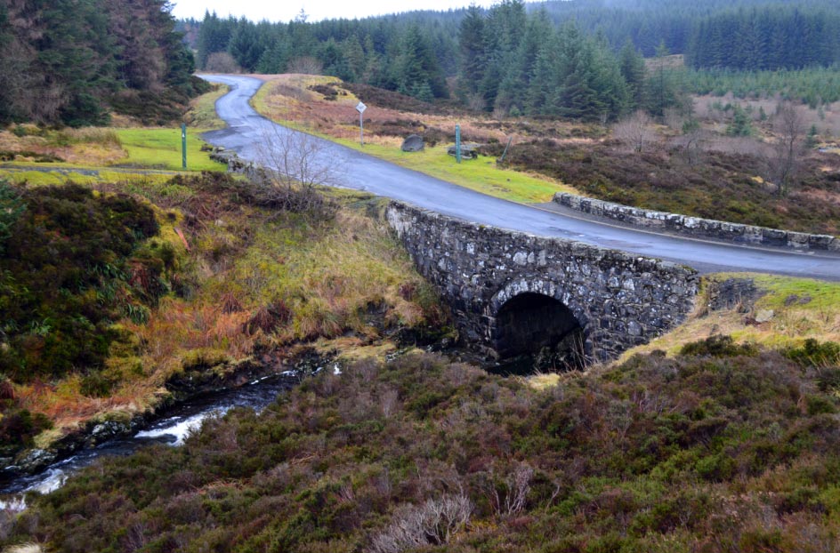
![]() Stinchar Bridge,
the Start of the Tourist Route
Stinchar Bridge,
the Start of the Tourist Route
![]() Wednesday
5th March 2014 (Travelling Back Same Day)
Wednesday
5th March 2014 (Travelling Back Same Day)
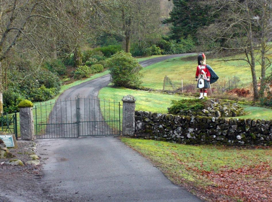
![]() Figurehead From the
Ship Black Watch at the Gateway to Forrest Lodge
Figurehead From the
Ship Black Watch at the Gateway to Forrest Lodge
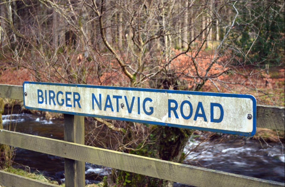
![]() I Wonder Who Birger
Natvig was to Have a Road Named After Him
I Wonder Who Birger
Natvig was to Have a Road Named After Him
![]() I'm not going to
get Lost in This Wood
I'm not going to
get Lost in This Wood
![]() Yet Another Sign
Yet Another Sign
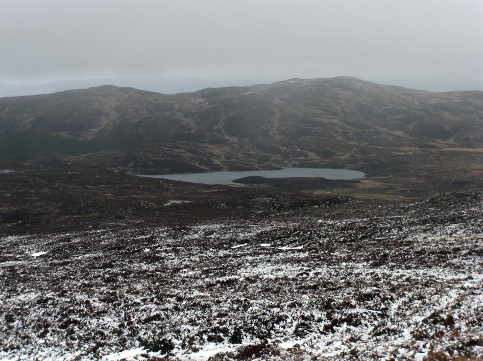
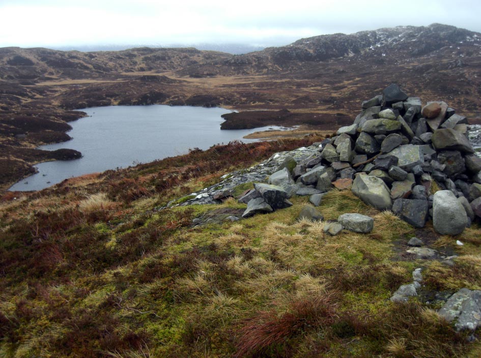
![]() Loch Harrow and the
Eastern Spur of
Corserine
(North Gairy Top)
Loch Harrow and the
Eastern Spur of
Corserine
(North Gairy Top)
![]() Power Station at Loch
Harrow
Power Station at Loch
Harrow
![]() Old Mooring Post on Loch
Harrow
Old Mooring Post on Loch
Harrow
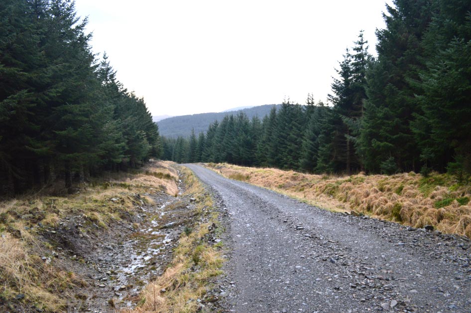
![]() One of the Many
Well Maintained Tracks Through The Forest
One of the Many
Well Maintained Tracks Through The Forest
![]() Now High Above Loch
Mannock & Loch Harrow
Now High Above Loch
Mannock & Loch Harrow
![]() The Edge of North
Gairy Top Hidden in the Clouds
The Edge of North
Gairy Top Hidden in the Clouds
![]() On the Ridge
Looking West Towards
Corserine
On the Ridge
Looking West Towards
Corserine
![]() Cracks Starting
Appear on a Cornice Just N/W of the Summit
Cracks Starting
Appear on a Cornice Just N/W of the Summit
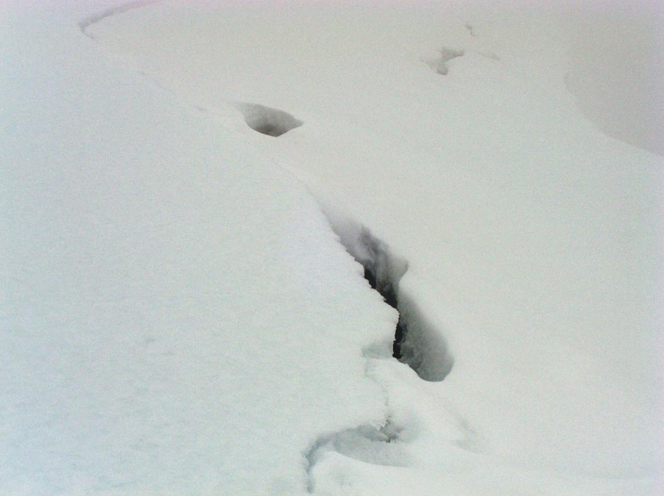
![]() WOW! I Wonder How
Deep These Cracks Are?
WOW! I Wonder How
Deep These Cracks Are?
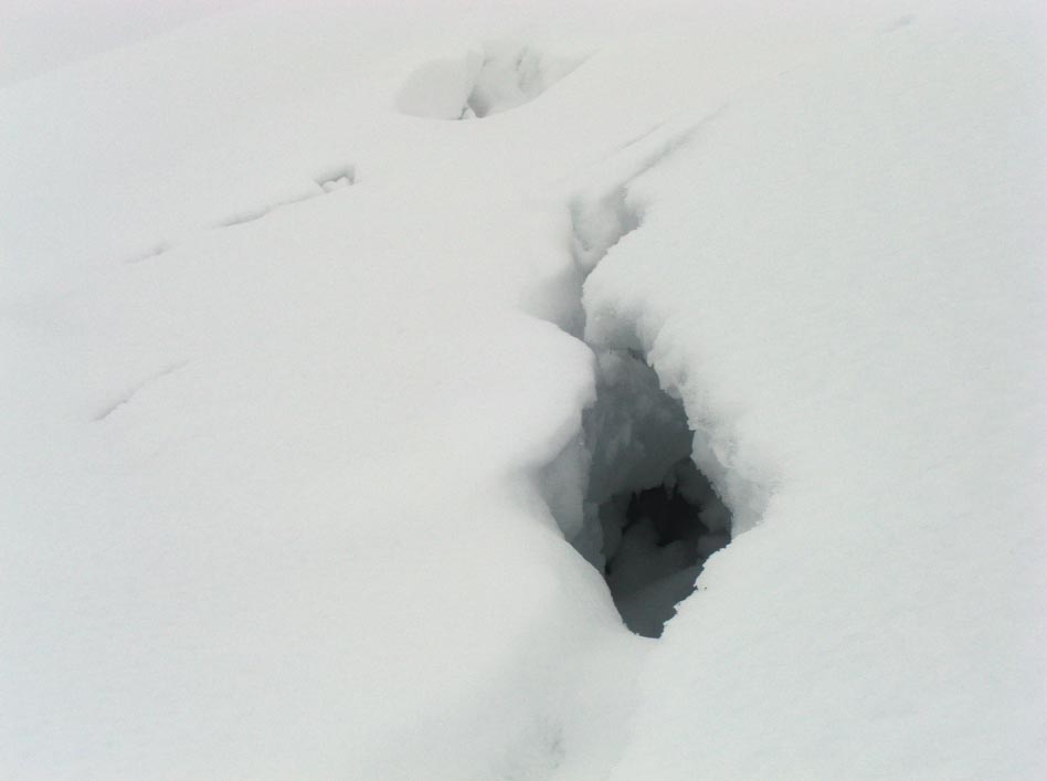
![]() Just Visible the
Far Edge of the Cornice and the Cracks Along its Near Edge
Just Visible the
Far Edge of the Cornice and the Cracks Along its Near Edge
![]() The Summit Trig
Point on
Corserine
The Summit Trig
Point on
Corserine
![]() Heading Back Down
Now
Heading Back Down
Now
![]() A Stone Shelter
Provides a Rest From The Icy Wind (A Good Place for Lunch)
A Stone Shelter
Provides a Rest From The Icy Wind (A Good Place for Lunch)

![]() North Gairy Top Now
in Really Thick Cloud
North Gairy Top Now
in Really Thick Cloud
![]() Loch Harrow now
Coming into View Again
Loch Harrow now
Coming into View Again
![]() More Storm Ravaged
Trees Back Down in the Woods
More Storm Ravaged
Trees Back Down in the Woods
![]() Wednesday
19th March 2014 (Travelling Back Same Day)
Wednesday
19th March 2014 (Travelling Back Same Day)
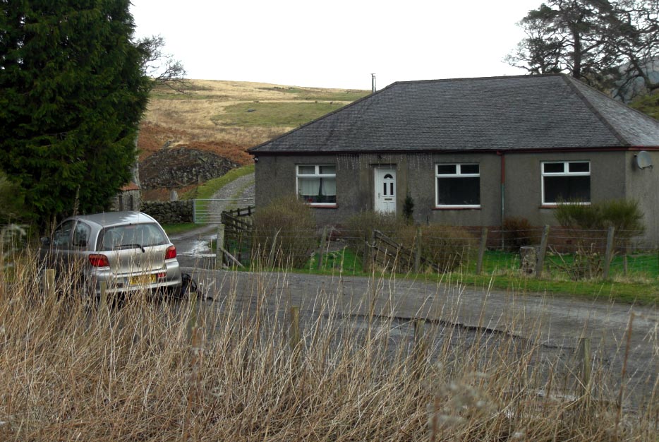
![]() The Bungalow at
Bridgend at the Start of the FarmTrack
The Bungalow at
Bridgend at the Start of the FarmTrack
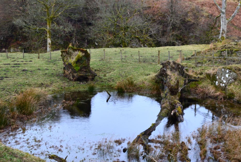
![]() The Green Well of
Scotland
The Green Well of
Scotland
![]() The Farm Track by
the Cow Sheds Should be Avoided at all Cost
The Farm Track by
the Cow Sheds Should be Avoided at all Cost
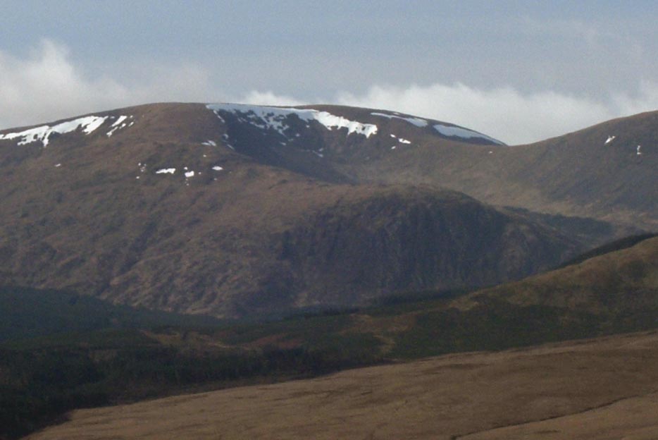
![]() Cairnsmore
of Carsphairn Hidden Behind the Hills of Dunrool & Willienna
Cairnsmore
of Carsphairn Hidden Behind the Hills of Dunrool & Willienna
![]() Looking back
Towards
Corserine
Looking back
Towards
Corserine
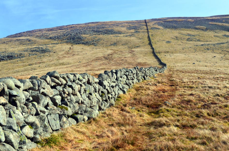
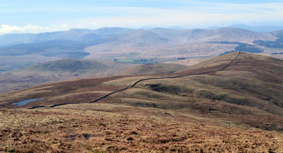
![]() After Leaving the
Track a Dry Stone Wall is Followed all the way to the Summit
After Leaving the
Track a Dry Stone Wall is Followed all the way to the Summit
![]() The Higher we go
the Better the Weather
The Higher we go
the Better the Weather
![]() Looking Back Over
Dunrool Towards
Corserine
Looking Back Over
Dunrool Towards
Corserine
![]() The Summit Trig
Point & Shelter on
Cairnsmore
of Carsphairn
The Summit Trig
Point & Shelter on
Cairnsmore
of Carsphairn
![]() Another Dry Stone
Wall Leads all the way to Dunrool
Another Dry Stone
Wall Leads all the way to Dunrool
![]() Cairnsmore
of Carsphairn from the Summit of Dunrool
Cairnsmore
of Carsphairn from the Summit of Dunrool
![]() The Cornice from 2
Weeks ago can Still be Seen on
Corserine
The Cornice from 2
Weeks ago can Still be Seen on
Corserine
|
|
Copyright © 2014 [Antonio Siwiak]. All rights reserved. |